Vrashka Chuka
(Vrashka Chuka to Kireevo village)
Vrashka Chuka forms the opening segment of Western Stara Planina. This section covers the Vrashka Chuka ridge itself, the Zatvornitsa area, and the outskirts of Kireevo village.
The approach to Vrashka Chuka (and the trailhead for the ascent) cuts through the limestone quarries roughly 3 km north of Kireevo. Driving is the simplest option, yet public transport exists: once a day around noon a bus runs from Vidin to Kireevo operated by Aleksiev-91. Call them for precise schedules. Kireevo is the last stop, but the driver might drop you at the quarry turnoff. A gate guards the quarry entrance; tell the guard you are heading for Vrashka Chuka and he will let you through. If you pass on foot, watch for the dogs near the barrier. Beyond it, stay on the gravel road to the right of the two quarries until a widened area below the ridge marks the start of the trail. Follow the green-white blazes; the tread fades in places so keep an eye on the markings. Just before the summit the path climbs out of the forest onto a rocky slope. The ascent takes about 30 minutes and gains roughly 250 m.
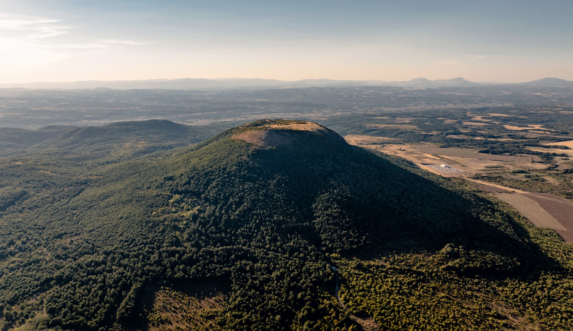
On a clear day the summit rewards you with wide panoramas: the Danube plain stretches to the northeast, the Fore-Balkan and the Western Balkan rise south toward Midzhur and Kopren, while to the west and north you can see Zajecar and the first ridges of the Serbian Carpathians. Vrashka Chuka is also the only spot where the protected Bulgarian erantis blooms in spring.
The red-white markings of the route start on Vrashka Chuka. Head west for about 100 meters to border pillar 407, then swing south and downhill beside the concrete border markers. A tall burned tree signals the entrance into the forest—stay on the marked line through the woods.
At the foot of Vrashka Chuka the trail drifts through the forest, gradually leaving the border and trending south. After roughly 1 km you meet a junction on a broad dirt road. Left is the quicker option to Kireevo, but the route turns right. Two hundred meters later the road bends south and parallels the border across the Zatvornitsa area. About 600 m farther you reach an abandoned border watchtower at pillar 403—the westernmost point of Bulgaria. Continue along the border for about 3 km, then turn east back into the forest. The trail crosses the Shashka river valley and starts a gentle climb toward Kireevo.
In the center of Kireevo a public fountain lets you refill, and another stands inside the churchyard. A small shop opens a few hours in the morning and evening. Follow the street to the right of the municipality building to exit the village, then stay on the dirt road heading south across the meadows. Watch the blazes because trees are sparse here and multiple dirt tracks intersect—keep the GPS track handy. After roughly 3 km you reach a large oak where the route forks and the Predbalkana section begins.
Elevation profile
- Distance
- 10.3 km
- Ascent
- 409 m
- Descent
- 653 m
Save this GPX file on your device before setting off—your navigation app can replay the trail line through Bulgaria’s Western Balkan and keep you on the border ridge.