Vrashka Chuka – Kom
The Vrashka Chuka – Kom trail stretches for 125 km. The Vrashka Chuka ridge (692 m) marks the symbolic start of the Stara Planina. From there the trail follows the Predbalkana ridgeline and the Western Balkan to Mount Kom, passing iconic peaks like Midzhur (2,169 m) and Kopren (1,965 m). It runs almost entirely along the Bulgaria–Serbia border, so while no special permit is needed, you still must inform the Border Police about your plans. The route is divided into five main segments (see #track-parts), each with its own character and challenges detailed below.
Map of the route
Route segments
Review each section on its own map to plan distance, elevation, and key stops more accurately.
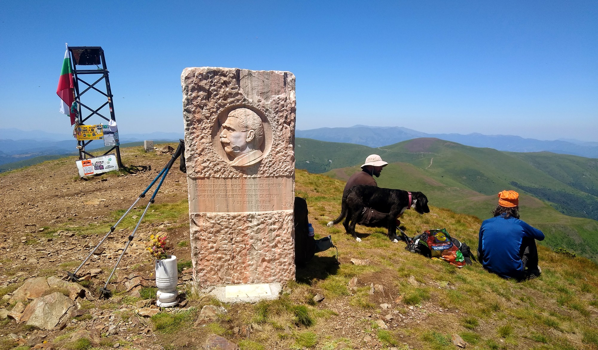
Part 1
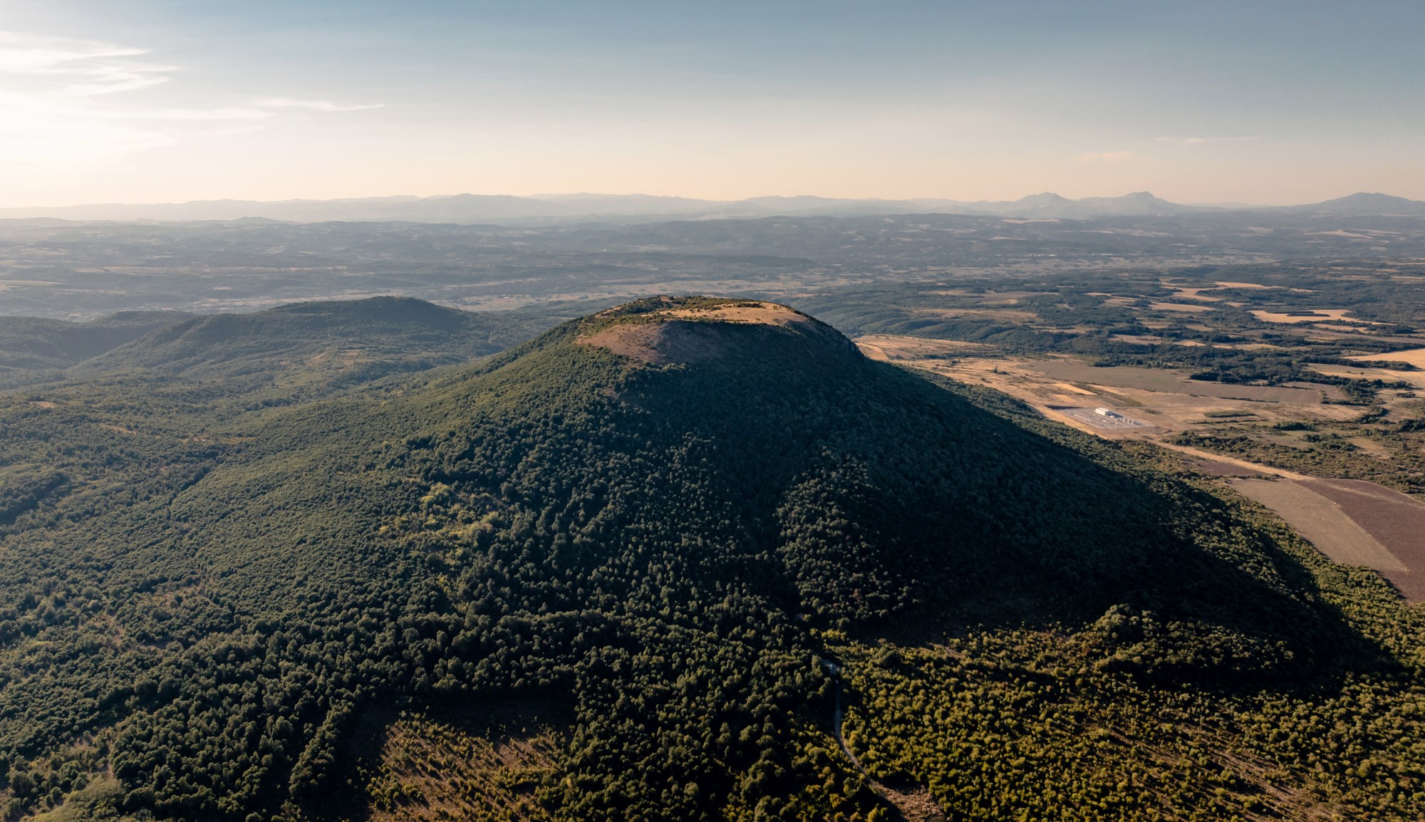
Vrashka Chuka
Vrashka Chuka forms the opening segment of Western Stara Planina. This section covers the Vrashka Chuka ridge itself, the Zatvornitsa area, and the outskirts of Kireevo village.
- Distance
- 10.3 km
- Ascent
- 409 m
- Descent
- 653 m
Part 2
Predbalkana
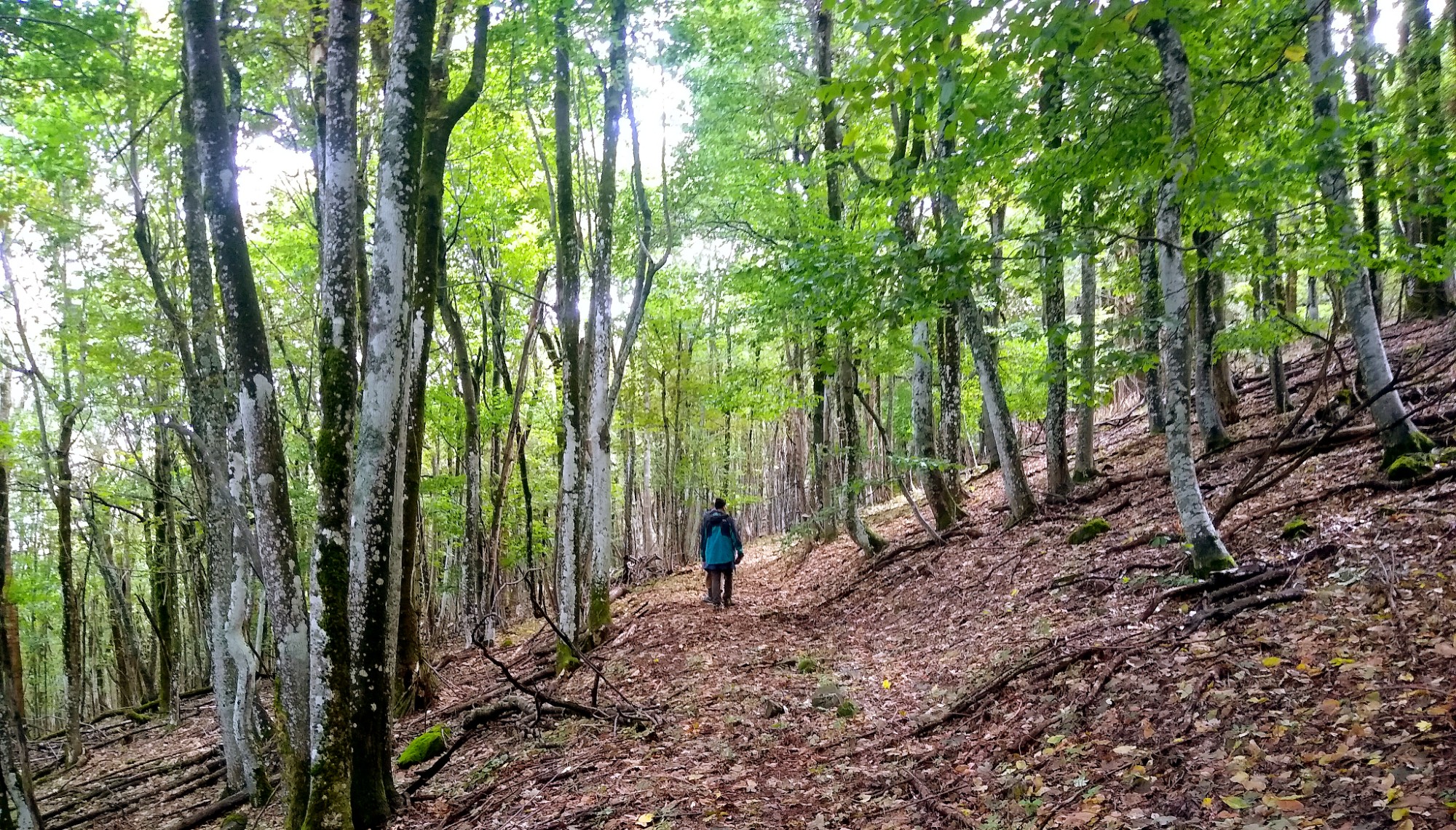
The Predbalkana ridge, also called Babin Nos, starts just past Kireevo and ends at the Belogradchik pass near Salash. This segment stays almost entirely in forest, tracing the ridge around 1,000 m elevation.
- Distance
- 28 km
- Ascent
- 2113 m
- Descent
- 2010 m
Part 3
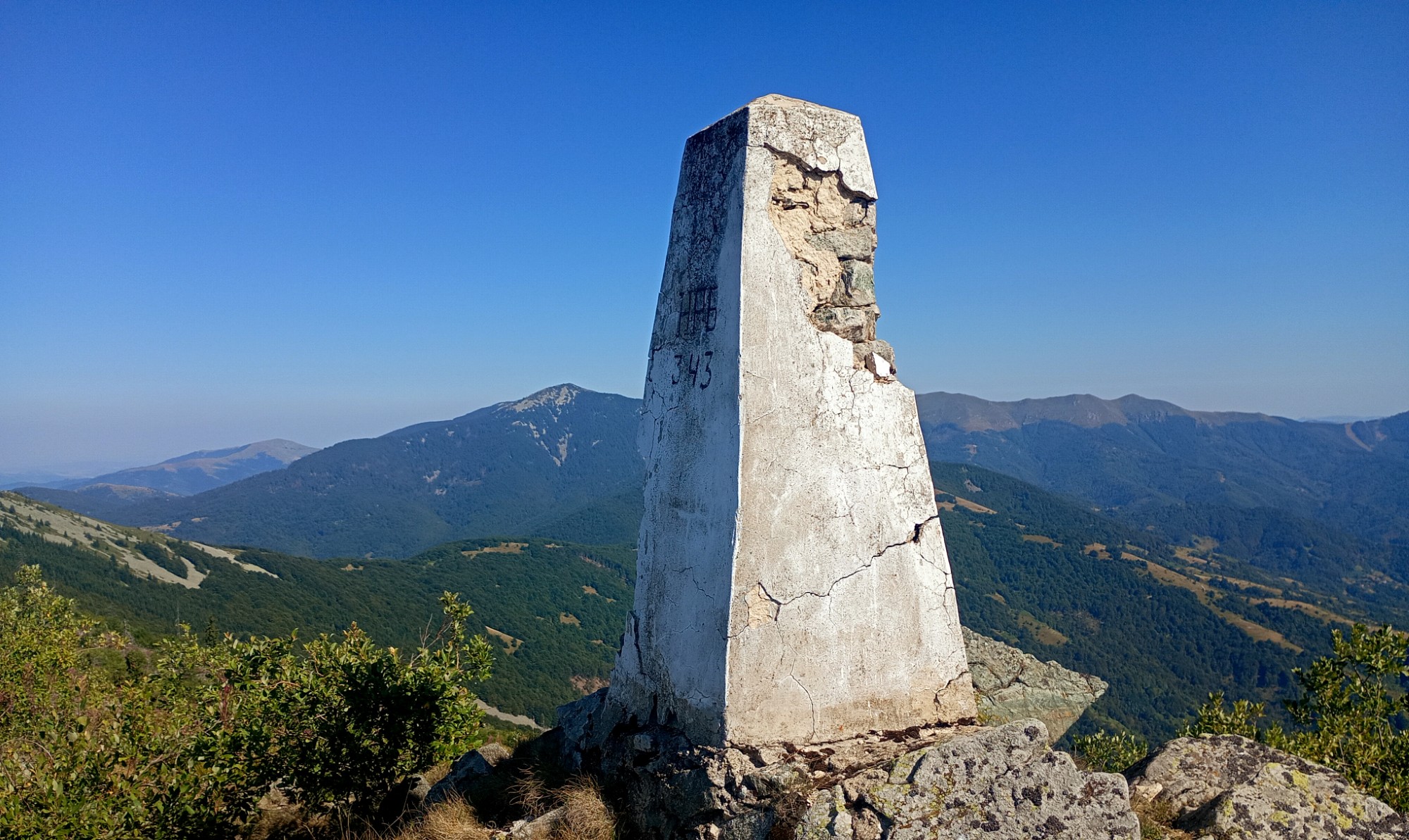
Sv. Nikolska Planina
The true Western Balkan begins at the Belogradchik pass and stretches to the Sveti Nikola pass. Much of it runs through forest, yet ridge meadows open sweeping views, and this section hosts the most technical feature — the Northwest’s narrow “horseback.”
- Distance
- 29.2 km
- Ascent
- 2655 m
- Descent
- 1833 m
Part 4
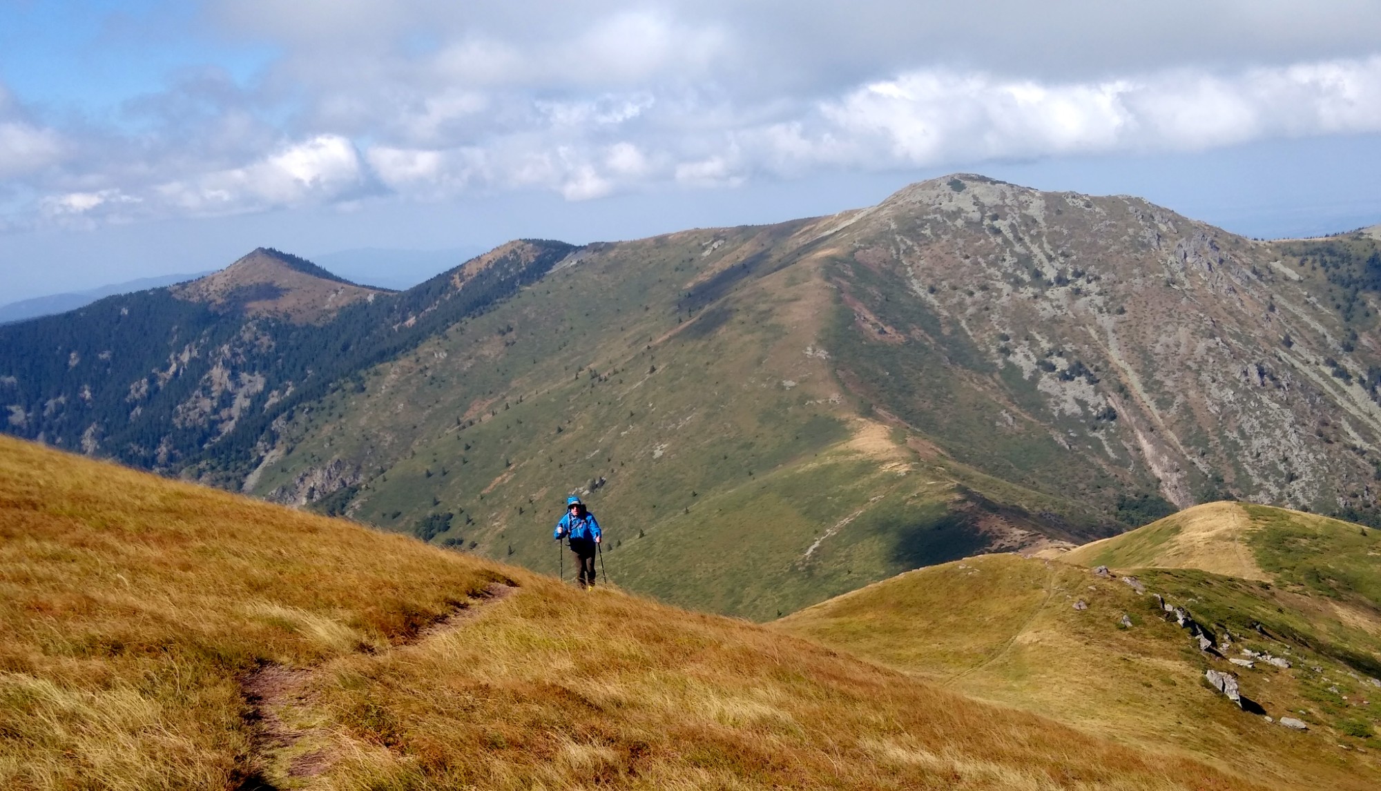
Chiprovska Planina
Chiprovska Planina starts at Sveti Nikola pass, crosses the highest stretch of the Western Balkan, and finishes at Surovichnitsa beyond Mount Kopren. This stage stays mostly above the treeline in alpine terrain.
- Distance
- 36.9 km
- Ascent
- 2620 m
- Descent
- 2577 m
Part 5
Berkovska Planina
Berkovska Planina forms the final section of the Western Balkan before Mount Kom. The route stays mostly above the treeline over rounded summits with gentle elevation while following a wide cart road.
- Distance
- 24.5 km
- Ascent
- 1823 m
- Descent
- 1231 m
Sample itinerary
The Vrashka Chuka – Kom traverse usually takes six days with roughly 20 km of hiking per day. Here is a sample schedule you can follow or tweak according to your start time and pace. Use the interactive map to plan bivouac spots as well as water and food resupplies (see Support for more detail).
| Day | Route | Distance | Duration | Elevation (+/-) | GPS track |
|---|---|---|---|---|---|
| 1 | Vrashka Chuka – Babin Nos | 22 km | 9 h 30 min | +1780 / -1220 m | Download GPX |
| 2 | Babin Nos – Zhdrebche | 22 km | 8 h 30 min | +1500 / -1540 m | Download GPX |
| 3 | Zhdrebche – Sv. Nikola | 25 km | 9 h 30 min | +2150 / -1750 m | Download GPX |
| 4 | Sv. Nikola – Martinova Chuka | 18 km | 7 h 30 min | +1550 / -1290 m | Download GPX |
| 5 | Martinova Chuka – Yavorova Chuka | 24 km | 9 h | +1390 / -1640 m | Download GPX |
| 6 | Yavorova Chuka – Kom | 24 km | 10 h | +1580 / -1490 m | Download GPX |
Download Torlakia's official GPX tracks for each day of the Vrashka Chuka – Kom traverse and follow the border ridge with confidence while hiking in Bulgaria.
Support
Vrashka Chuka – Kom is a new route and still lacks the infrastructure of bigger trails like Kom – Emine, so bivouacs are mostly in tents for now. In the long-term plan we intend to build several shelters and fountains (read more on the Projects page).
At the moment Torlakia offers logistical support that lets you hike with the lightest possible pack while we transport tents, food, water, and everything else you need for bivouacs.
In the summer of 2025 multiple groups hiked the route with our support, and we tried to provide them with maximum comfort.
Please reach out if you want to reserve support dates.
Of course you can also plan the traverse without support or with your own crew. In any case, we will share all the information you need to be prepared.
Marking
The Vrashka Chuka – Kom trail uses red-white blazes, just like Kom – Emine and the other international routes in Bulgaria. By the end of 2025 about 100 km of the 128 km route carry fresh paint; we plan to finish the remaining gaps in spring 2026. The line is drawn on the BGMountains map and direction arrows with estimated times mark key crossings.
The access roads and trails to the ridge are also shown on the map and have directional arrows on the ground, but they currently lack blazes. Those tracks serve logistical support and, when needed, evacuation toward the nearest villages or towns. So far only the ascent to Vrashka Chuka is marked with green-white stripes, along with the trails to Mirzhur from Gorni Lom and Gorski Rai hut and the path to Kopren from Kopren hut which still carry the older markings.
Where trees or rocks are scarce, the route uses red-white signal ribbons tied to branches—especially through the high juniper sections. You must follow the cut corridor carefully to stay on the trace.
Besides the paint, we strongly recommend following the GPS tracks because some tread fades and relying only on blazes can be harder.
Important information
Border Police
The Vrashka Chuka – Kom route runs directly along the Bulgaria–Serbia border, which is an external frontier of both the European Union and the Schengen area. Movement on the trail is free, but you must notify the Border Police about your plans.
According to the Constitution of the Republic of Bulgaria every citizen has the right to access any point on the national territory (unless it is private property). The Border Police regulations introduce a notification regime, which means you simply inform them about your route.
This route falls under the Dragoman Regional Directorate of the Border Police. Contact them at:
email: rdgp-dragoman@mvr.bg
phone: +359 71 722 095
Ticks
In spring and the first half of summer the lower sections of the trail can have ticks. We recommend using a tick repellent and applying it to your entire body—the usual practice of spraying only the clothes is often not enough.
If you still pick up a tick, carry tweezers so you can remove it safely.
Water
If you do not rely on support for water resupply, we recommend using filters or purification tablets for some of the springs. Low-output springs may dry up in late summer and autumn.
On hot days carry at least 3 liters of water per person per day.