Predbalkana
(Rakovishki Monastery to Salash)
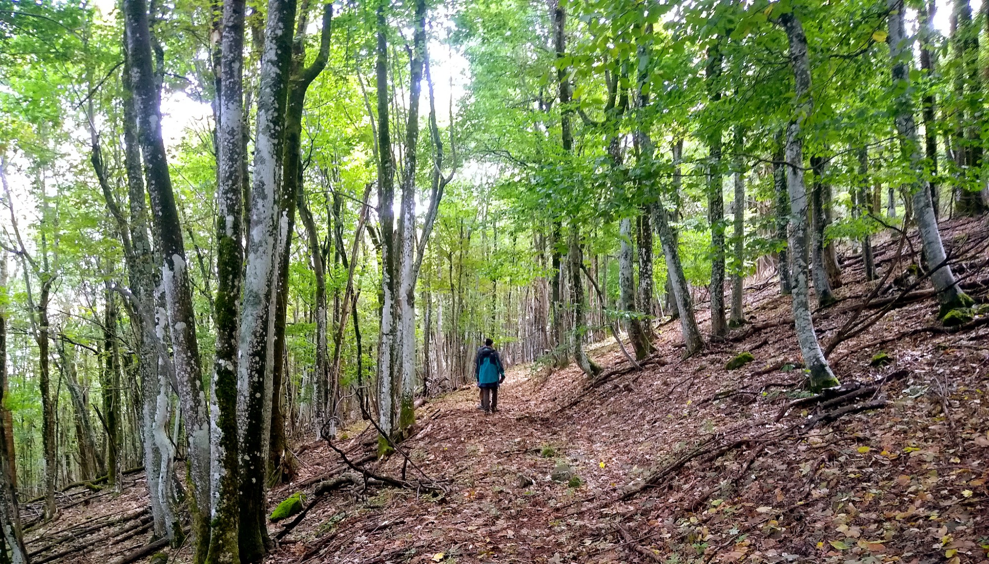
The Predbalkana ridge, also called Babin Nos, starts just past Kireevo and ends at the Belogradchik pass near Salash. This segment stays almost entirely in forest, tracing the ridge around 1,000 m elevation.
At the junction near the big oak above Kireevo the route splits: southeast leads to Rakovishki Monastery, while due south is the shorter line toward Mount Chernoglav (858 m), the first summit of Predbalkana. Both variants follow the red-white blazes.
If you left Vrashka Chuka in the afternoon, the monastery grounds offer a convenient bivouac. A weak fountain trickles in front, and the caretakers can fill bottles for you. The monastery is worth a visit for its history—it dates back to the 10th–11th centuries and hosted the Vidin Uprising in 1850. About 50 m from the complex, near the abandoned children’s camp, a wide meadow accommodates tents, and from there a steep path climbs toward Chernoglav.
The alternative trail climbs gradually from the fork following a wide track through the forest toward Chernoglav. Once you reach the ridge you must turn roughly 100 m left off the main trail to reach the summit, which has a small rocky clearing and views toward Babin Nos. Another 300 m brings you into a broad cart road that runs parallel to the border until the base of Mount Studen Kladenets. The peak sits about 300 m off the route in the woods with no outlook, but to the left of the path you will find a low-flow spring and a bit lower an old dry fountain. An unmarked track turns left there toward Rakovitsa village, while you continue straight through a beech forest that narrows into a thin footpath. Sections of the tread fade, so stay alert to blazes and keep the GPS track handy.
After around 4 km you reach the base of Mount Babin Nos (1,107 m), the highest point of Predbalkana. The traverse skirts the summit through blowdowns and tall grasses before a fork appears some 500 m later. The left branch heads toward Rakovitsa and offers places for bivouac as well as a route where a jeep can reach for support, but the main line keeps following the border.
The trail continues on a reasonably wide cart road that sometimes grows grassy yet remains visible. Almost the entire length of Predbalkana runs right beside the border. Shortly after Mount Tri Kladentsi and below Mount Tresak you find small springs to the left, and Tresak still holds the foundations of an old border post. After about 1.5 km you reach a fork; the left spur descends toward Rayanovtsi, while the main road keeps straight, even though the tread fades—carefully follow the blazes and GPS. The route crosses a rocky patch and after Velkov Chukar it descends through the forest. In less than 1 km you rejoin the cart road. Another 3.5 km later the road bends gently south; Mount Kitka rises to the left and a hard-to-spot monument to soldiers fallen in the Bulgarian-Serbian wars stands nearby amid the dense oak and acacia.
Traveling another 2 km you reach Haydushki Kladents, a low-flow spring beneath border pillar 373 beside the road. From there the track slowly pulls away from the frontier. After about 1 km the forest opens, and another 1.5 km brings you to a fork: the left branch drops toward the Kutsarovtsi hamlet, while the main route keeps straight and descends to the old outpost above Salash. A steep meadow to the right leads down to Shopor spring, marked by a tall willow; the fountain also reconnects to the main trail. After two steep turns you reach another left spur toward Kutsarovtsi and one of the hamlet’s fountains, where gazebos and a shaded bivouac spot await.
Staying on the main line, less than 2 km later you reach the road before the abandoned outpost. To the right lie the outpost and the Belogradchik pass (Kada Boaz), while Salash and the end of Predbalkana sit to the left.
Salash still lacks formal guesthouses, but Anatoli—the village chef—welcomes guests, and a tiny shop opens only in the mornings and evenings.
Hunter’s Fountain is another good bivouac option, located off the route toward the pass. It sits in a grove to the left of the road near the reservoir. A cart track skirts the right side of the grove, and before it bends around the trees a short path drops down to the fountain.
Elevation profile
- Distance
- 28 km
- Ascent
- 2113 m
- Descent
- 2010 m
Save this GPX file on your device before setting off—your navigation app can replay the trail line through Bulgaria’s Western Balkan and keep you on the border ridge.