Sv. Nikolska Planina
(Salash to Sv. Nikola)
The true Western Balkan begins at the Belogradchik pass and stretches to the Sveti Nikola pass. Much of it runs through forest, yet ridge meadows open sweeping views, and this section hosts the most technical feature — the Northwest’s narrow “horseback.”
Sv. Nikolska Planina starts at the junction for the Belogradchik pass and Salash, near an abandoned border post. The route splits here once more before reuniting under Mount Zhdrebche, and both variants carry red-white blazes.
The right-hand option reaches the outpost, turns left across meadows, and begins climbing through forest toward pillar 363. The tread fades in places, so keep an eye on the markings. The trail crosses pillar 362 and Rasovati Kamak before topping Zhdrebche; forest lies to the left and steep open Serbian slopes to the right, so if you stumble onto an abandoned Serbian post you need to return to the ridge. From Zhdrebche the route leaves the border, descends across meadows for roughly 400 m, and reaches a ruined border post where the alternatives merge.
The more direct alternative departs straight from the road junction along a wide cart track for about 1 km of gentle terrain, then crosses the Manastirska river and climbs gradually toward the Balkan. After another 2 km the ascent steepens through forest. Just before Krushtinski Kamak the road forks—ignore the left logging spur and stay on the right-hand line, following blazes and GPS. After 1.5 km the track breaks out of the trees onto steep open meadows; another 700 m brings you to the ruined post, which makes a great bivouac spot with views toward Mount Vedernik and the villages of Salash and Krachimir. Support vehicles can reach this clearing.
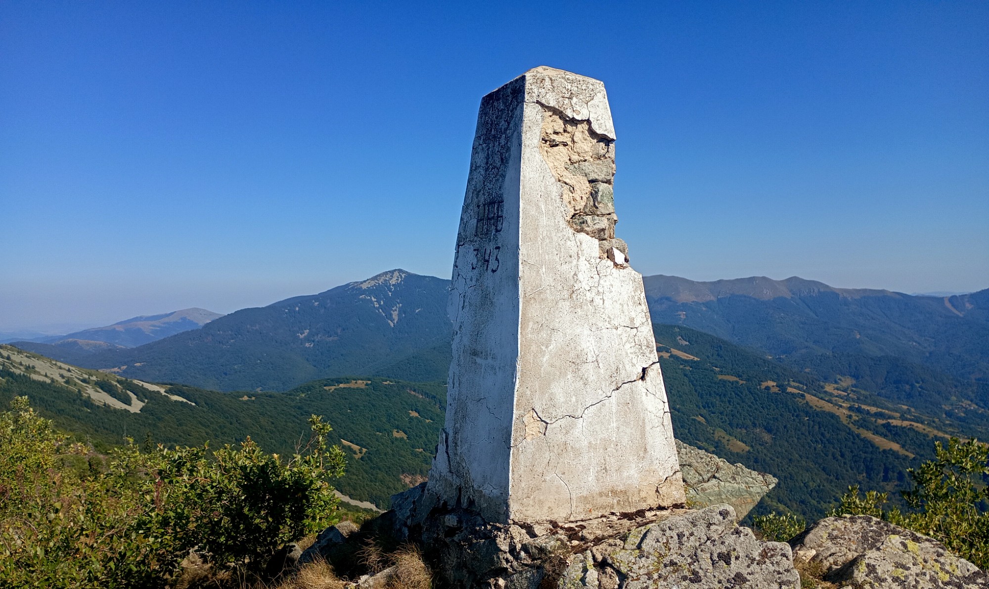
From the ruined post below Zhdrebche the trail heads south parallel to the border for the next 8–9 km, almost entirely through forest. Sections beneath Mount Vetren accumulate blowdowns, while after Bovche ridge wide meadows open up to the right on the Serbian side and the trail hugs the forest edge. After Berchina Chuka the route climbs a steep open slope to Mount Vuz, and then follows Stamenovo ridge briefly back into forest—about 100 m to the left of the main line a low-flow spring trickles down a steep slope. At pillar 365 the path leaves the woods, traverses uneven meadows over Mount Golash, and reenters forest roughly 1 km later.
The trail gradually dips into Serbian territory and exits the trees about 200 m from the border on a perpendicular ridge southwest of Mount Orlov Kamen, reconnecting with the main crest at the summit. Orlov Kamen marks the start of the so-called “horseback”: a technical 2 km rocky spine that slows progress, especially where fallen trees lie across the way. Shortly before Haidushki Kamen you enter conifer forest, and the dense, tall juniper around the summit is cut by a narrow corridor that must be followed carefully. From here the descent toward the Sveti Nikola pass begins.
Sveti Nikola pass makes a convenient bivouac and a jeep can reach it. An unmarked road branches left toward Chuprene, and about 500 m downhill a small spring feeds an improvised fountain. Every August a Torlak gathering takes place here with visitors from both sides of the mountain, and in Roman times this was a major transport artery.
Elevation profile
- Distance
- 29.2 km
- Ascent
- 2655 m
- Descent
- 1833 m
Save this GPX file on your device before setting off—your navigation app can replay the trail line through Bulgaria’s Western Balkan and keep you on the border ridge.